
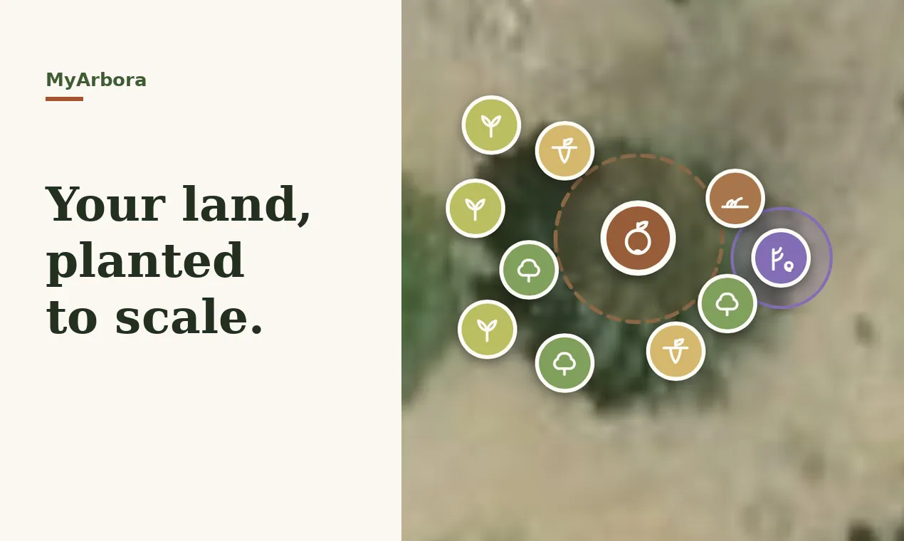
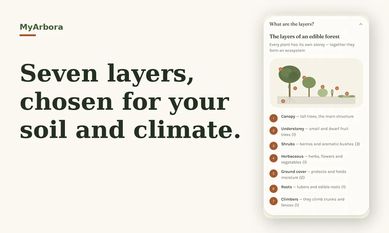
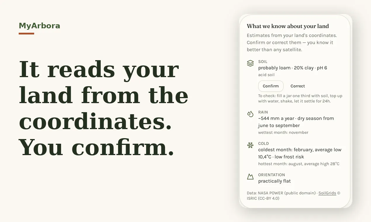
Draw your plot on a satellite map. MyArbora estimates your soil, rainfall, frost risk and slope from the coordinates, then designs a companion-plant guild around a tree you choose — placed to scale at mature size, with harvest and planting calendars. 300+ species. Free, no signup.
ProductivityArtificial IntelligencePlants
Advertisement (Responsive)
💬 Comments
📋 Details
Launched
August 1, 2026
Upvotes
3
Comments
1
Source
Public data
Advertisement (Responsive)






This tool has 1 comments on Product Hunt.
View comments on Product Hunt →