
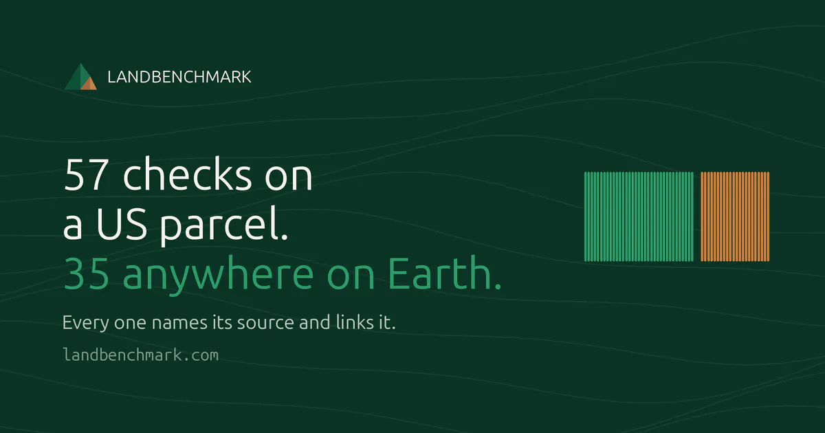
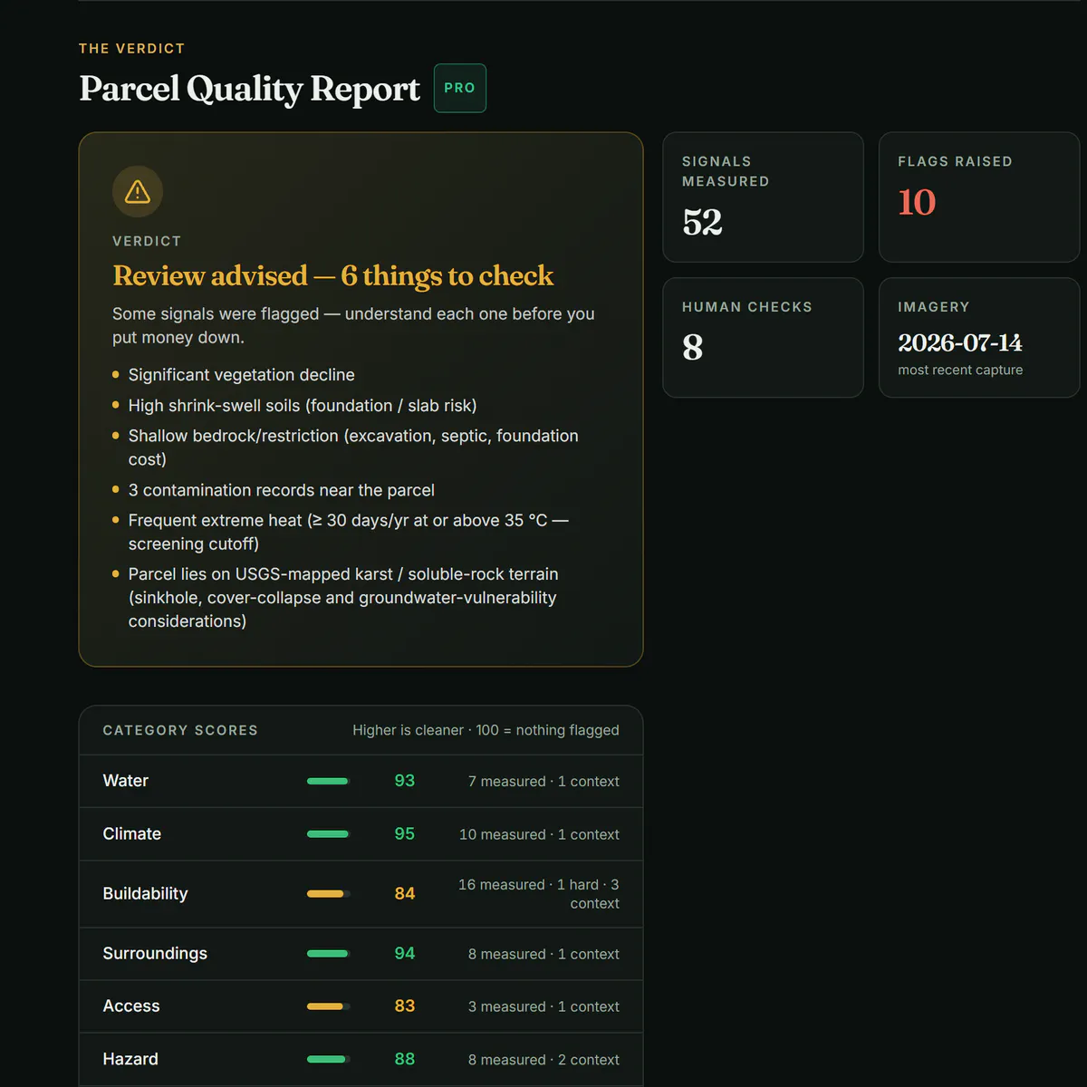
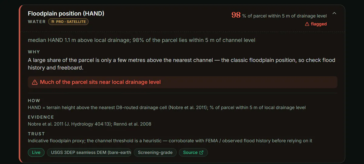
Draw a parcel anywhere on Earth and get 55 measured signals — flood, soil, slope, wetlands, protected areas, contamination. Every value names its source agency and observation date. We publish our own measured error rate.
SaaSArtificial IntelligenceMaps
Advertisement (Responsive)
💬 Comments
📋 Details
Launched
July 25, 2026
Upvotes
3
Comments
1
Source
Public data
Advertisement (Responsive)





This tool has 1 comments on Product Hunt.
View comments on Product Hunt →