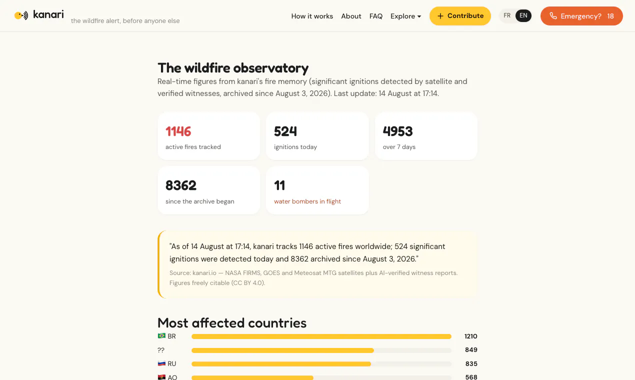
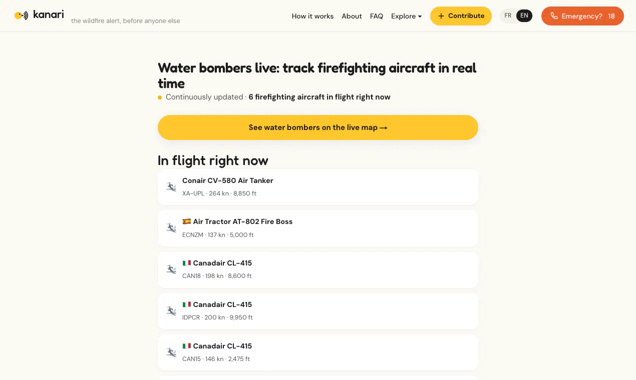
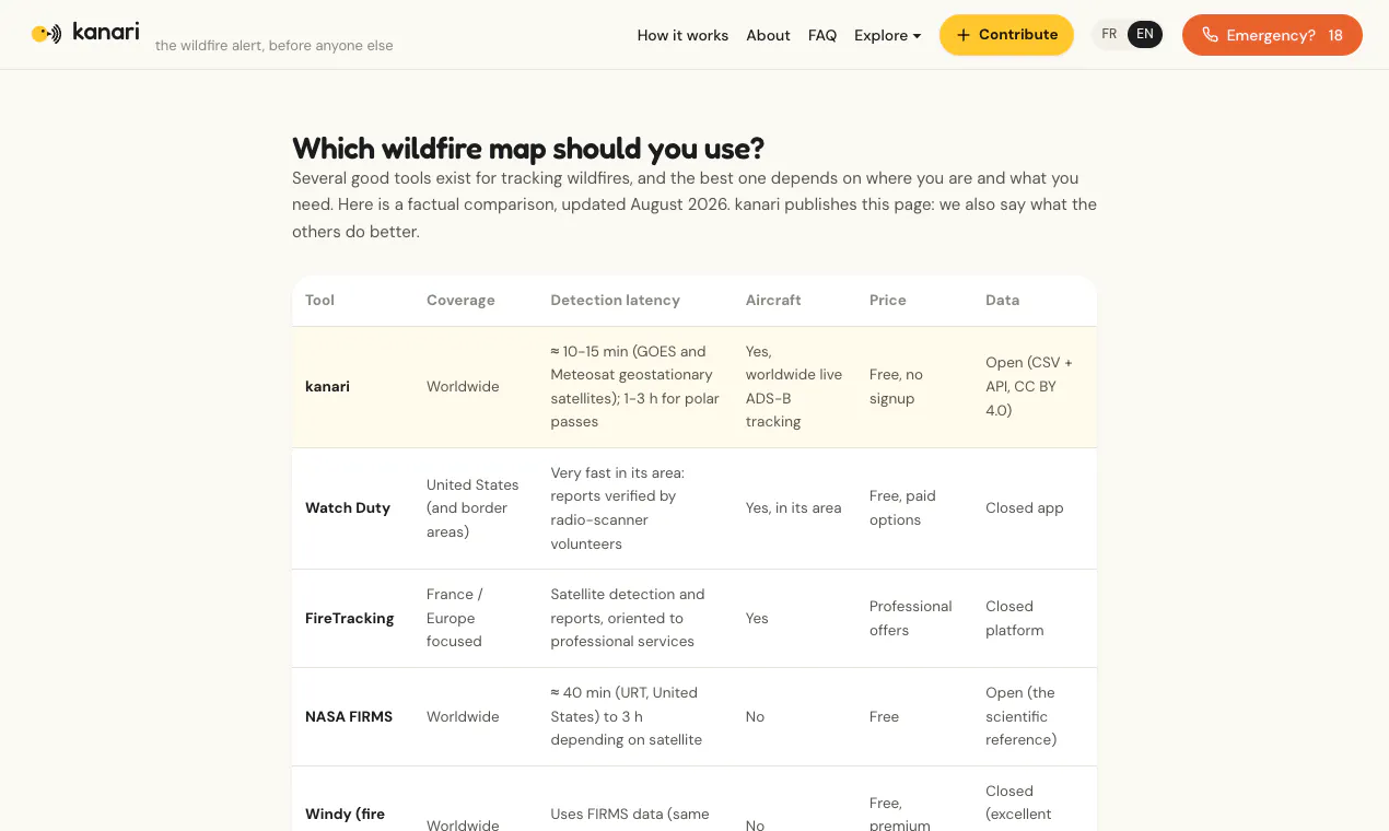
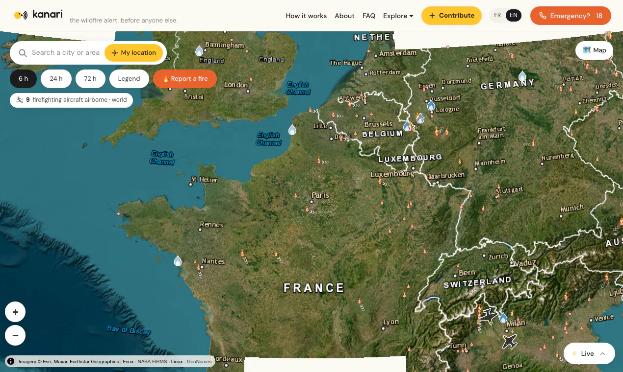
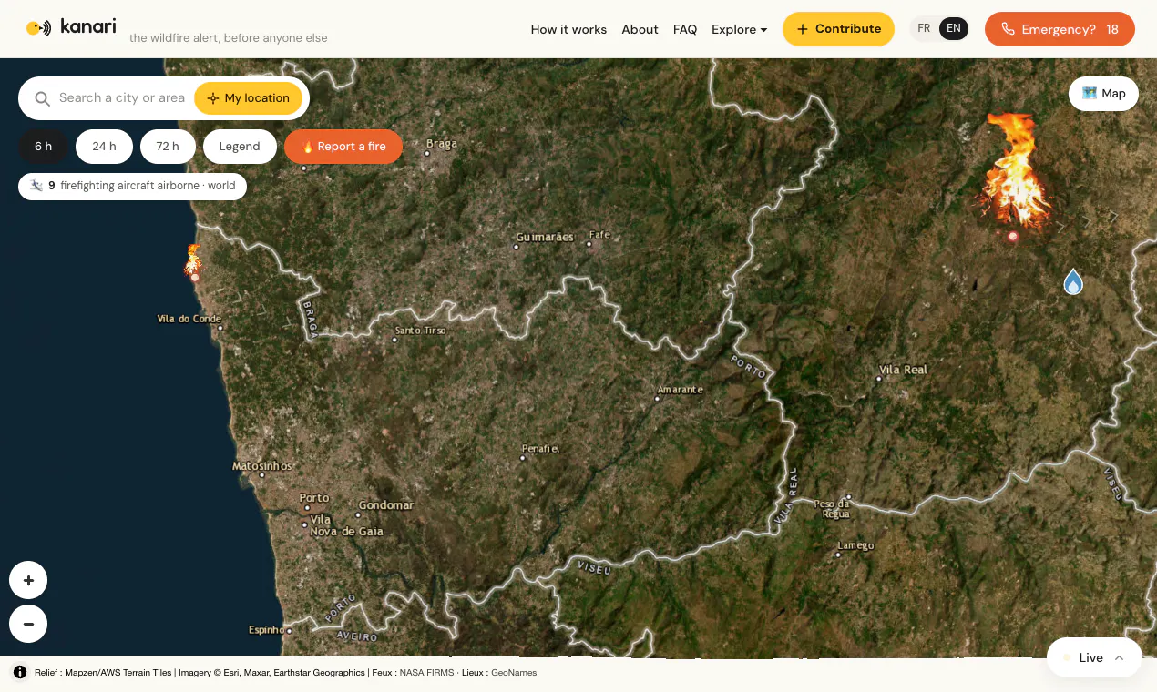
kanari fuses NASA, NOAA and Meteosat satellite detections with AI-verified witness reports to surface new wildfires within minutes. Live firefighting aircraft tracking, wind-driven spread cones, open data (CC BY 4.0). Free, worldwide, no signup. The canary sings before the siren.
MapsClimate TechData Visualization
Advertisement (Responsive)
💬 Comments
📋 Details
Launched
August 18, 2026
Upvotes
2
Comments
1
Source
Public data
Advertisement (Responsive)





This tool has 1 comments on Product Hunt.
View comments on Product Hunt →